
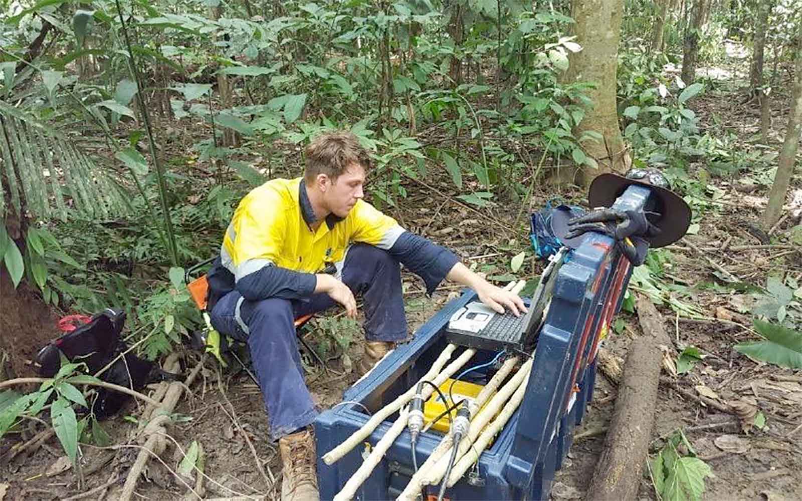
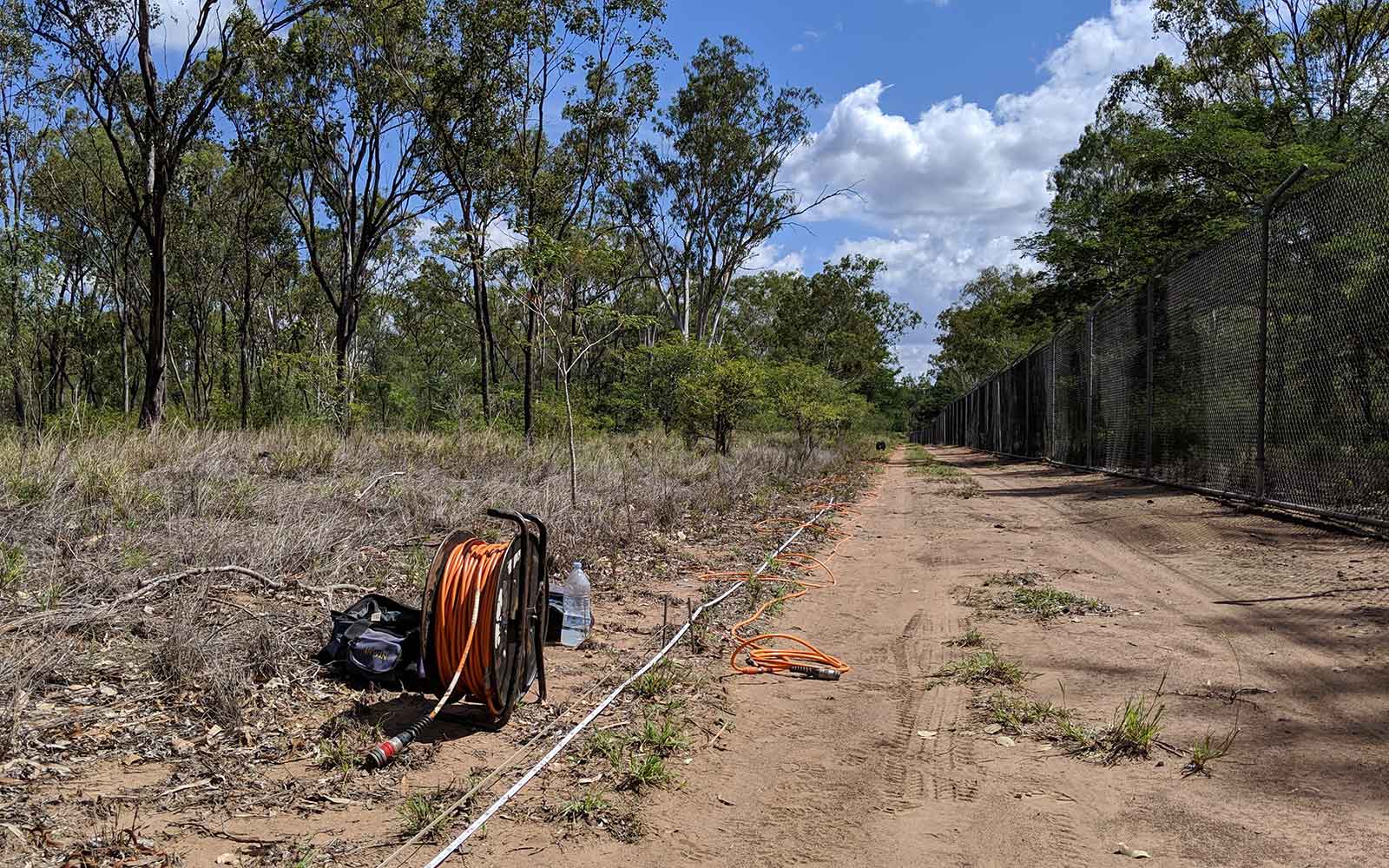
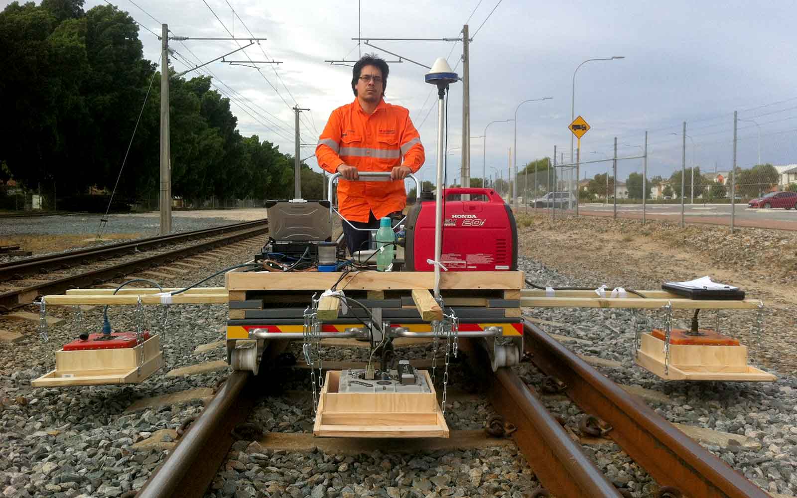
Refraction Micro-Tremor
A passive, non-destructive seismic method which uses the elastic properties of subsurface materials to determine the subsurface structure.
Applications
- Bedrock mapping
- Degree of sediment compaction
- Determination of geotechnical parameters (e.g. shear modulus)
- Void detection
- Liquefaction potential
- Subsurface profiling
- Imaging velocity inversions (hard layer overlying softer layer)
Method
The Refraction Micro-Tremor (ReMi) is a passive, non-destructive seismic method which uses the elastic properties of subsurface materials to determine the subsurface structure. By analysis of the dispersive properties of varying frequencies from ambient ground vibration, shear-wave velocity (Vs) and associated geotechnical parameters can be determined.
ReMi is a passive source method, meaning that ambient, low-frequency ground vibration is recorded over long periods and stacked to produce a frequency dispersion curve which can be used to provide information on the shear velocity to a depth determined by ambient frequency range and array configuration.
Seismic surface waves have dispersion properties that traditionally utilised body waves lack. Differing wavelengths/frequencies have different depth of penetration and therefore propagates with different phase velocity, with an increase in wavelength being proportional to the increased depth of penetration. As the Remi method utilises low-frequency ground vibration, deeper imaging of the subsurface is possible overactive source methods such as MASW.
Data Analysis & Presentation
Analysis of the collected ReMi seismic records is concentrated on the S-wave dispersion component. Dispersion curves are generated by stacking 15-20 individual long records to produce an overtone image showing the percentage intensity of phase velocity versus frequency. These curves are then inverted to produce 1D S-wave soundings typically to a depth of up to 30 m. The calculated 1D soundings can then be compiled and gridded to produce 2D sections showing the variation in S-wave velocity both laterally along with the profile and with depth.
Tailings Management: Get in touch
Consider a 'Tailings First' approach for your facility and avoid creating a potentially catastrophic risk for the environment.
GBG combines industry-proven geophysical methods, geotechnical physical characterisation, hydrogeological modeling and assessment, and airborne methods for point-based data capture in assessing your requirements. Talk to us today for more information regarding this essential service for your tailings facility.
Case Studies
GBG has completed over 1000 projects since its conception with multiple stakeholders and countless clients. GBG is proud to showcase some of these projects.
Enquire Now
We look forward to discussing your project with you, please complete the form below or contact one of our offices directly.
Please note: GBG Group is compliant with the General Data Protection Regulation (GDPR). To learn more about how we collect, keep, and process your private information in compliance with GDPR, please view our privacy policy. *

Contact Us - NSW


Contact Us - WA