
Environmental, Hydrogeology and Archaeological
Minimal ground disturbance to protect natural environments or archaeologically sensitive sites, geophysics can improve ground confidence while reducing risk.
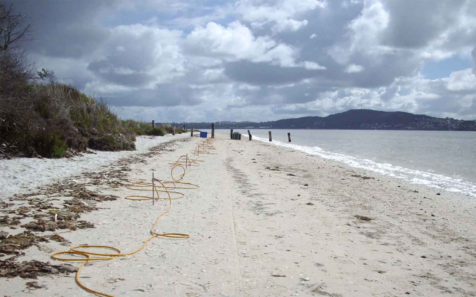
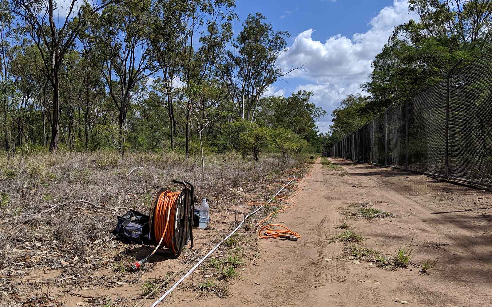
Environmental Geophysics
Assessment of site environmental hazards such as:
- Location and delineation of uncontrolled fill such as buried waste drums - Magnetometer, FDEM and GPR
- Location of remnant subsurface infrastructure - FDEM and GPR
- Location of unexploded ordnance (UXOs) - Magnetometer and FDEM
- Delineation of inorganic contaminant plumes - FDEM and ERI
- Detection of abandoned mine workings including shafts and adits - GPR, FDEM and ERI
- Tree root mapping - GPR
- Delineation of landfill extents, fill base and capping thickness - MASW, GPR, ERI and FDEM
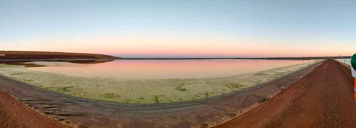
Hydrogeology
Assessment of subsurface hydrogeological conditions including:
- Mapping of geological sequences for groundwater including identification of potential aquifer/aquitard units - ERI, FDEM and TDEM
- Determination of water table depth - ERI
- Targeting geological sequences with high groundwater yields - TDEM and ERI
- Defining fresh / saltwater interface - ERI and TDEM
- Assessment of dryland salinity - FDEM
Archaeological
Assessment of sites of archaeological significance including:
- Buried remnant structures including walls, slabs and footings - GPR, FDEM and Magnetometer
- Unmarked grave site locations at cemeteries, private burial sites, forensics as well as aboriginal sites and interments - GPR
- Marine archaeological sites including wreck location - Marine Magnetometer and Side Scan Sonar.
Tailings Management: Get in touch
Consider a 'Tailings First' approach for your facility and avoid creating a potentially catastrophic risk for the environment.
GBG combines industry-proven geophysical methods, geotechnical physical characterisation, hydrogeological modeling and assessment, and airborne methods for point-based data capture in assessing your requirements. Talk to us today for more information regarding this essential service for your tailings facility.
Case Studies
GBG has completed over 1000 projects since its conception with multiple stakeholders and countless clients. GBG is proud to showcase some of these projects.
Enquire Now
We look forward to discussing your project with you, please complete the form below or contact one of our offices directly.
Please note: GBG Group is compliant with the General Data Protection Regulation (GDPR). To learn more about how we collect, keep, and process your private information in compliance with GDPR, please view our privacy policy. *

Contact Us - NSW


Contact Us - WA