
Ground Penetrating Radar
GPR is a diverse technique that is often part of many multi-technique projects. With a wide variety of antennas that can target different depths, let it discover what you’re looking for today.

Applications
- Stratigraphic mapping including depth to bedrock
- Locating karst features, sinkholes, voids or cave systems
- Depth to the water table
- Archaeology (location of graves and artefacts)
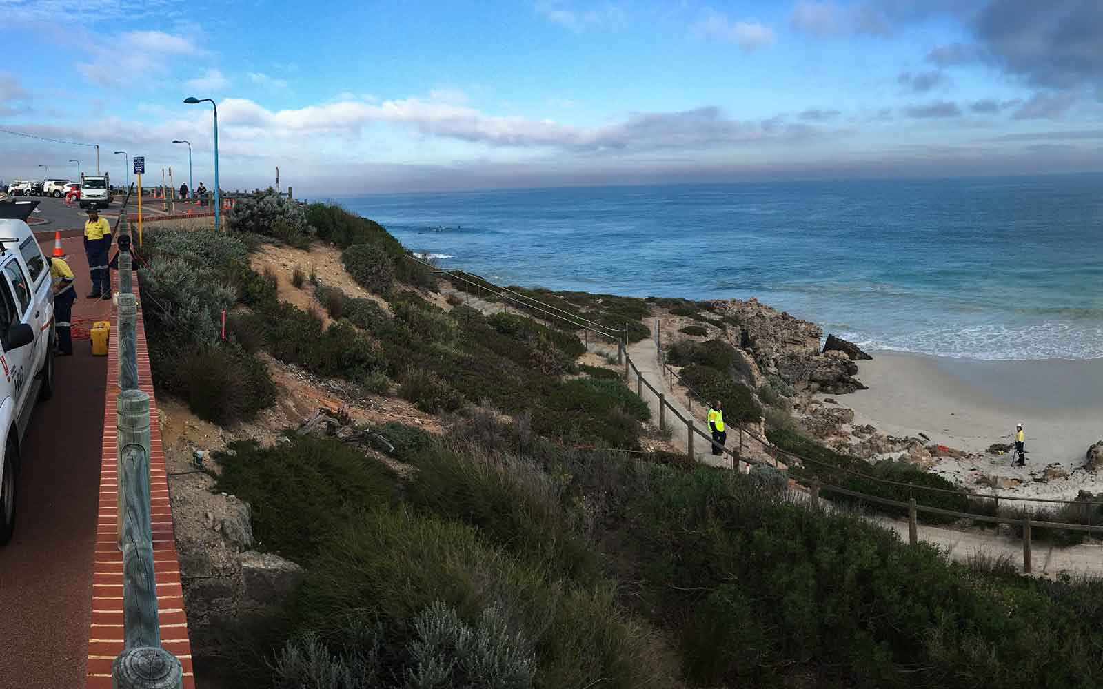
- Location of underground infrastructure, including UST’s and utilities
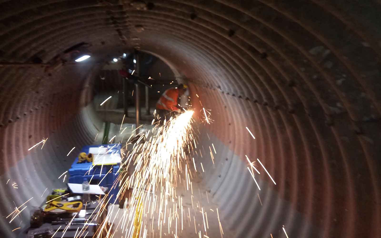
- Assessment of internal condition and defects of engineered structures
- Assessment of road and rail infrastructure, including asphalt and ballast condition
- Slab thickness, reinforcement placement and void detection (see more information about GPR for NDT uses here).
Methods
Ground Penetrating Radar (GPR) is a non-destructive and non-invasive geophysical technique for rapidly imaging the shallow subsurface and producing high-resolution colour sections in real-time. The method works by transmitting electromagnetic energy into the material being tested (usually the ground). Typically 100,000 impulses per second art transmitted which are of very short duration and contain a broad spectrum of frequencies.
The transmitted electromagnetic energy propagates through the subsurface as a function of the subsurface material’s electrical properties which are in turn dependent on its physical and chemical properties. Reflection of radar energy occurs at boundaries between differing stratigraphic layers of inclusions which have contrasting electrical properties. conversely, no reflections occur from a homogeneous material where there are no internal reflections. The reflections are detected by the receiving antenna placed adjacent to the transmitter. The depth to the target is proportional to the time (in nanoseconds) taken for the signal to travel from the transmitting antenna at the surface to the target and back to the receiver.
Contact us to find out what GPR options might work for you or to send in your enquire about hiring this equipment.
Case Studies
GBG has completed over 1000 projects since its conception with multiple stakeholders and countless clients. GBG is proud to showcase some of these projects.
Enquire Now
We look forward to discussing your project with you, please complete the form below or contact one of our offices directly.
Please note: GBG Group is compliant with the General Data Protection Regulation (GDPR). To learn more about how we collect, keep, and process your private information in compliance with GDPR, please view our privacy policy. *

Contact Us - NSW


Contact Us - WA