
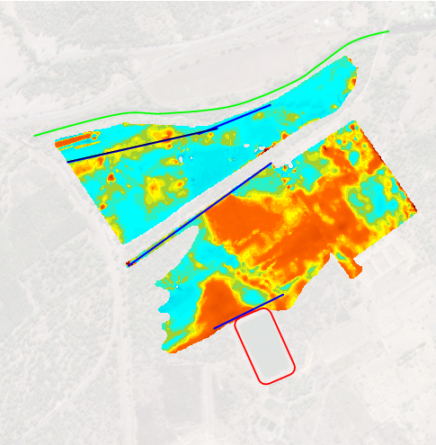
Contaminant Migration Mapping
GBG used Electromagnetics and Resistivity to define possible saline contaminants that was possible affecting a freshwater stream near a power station site.
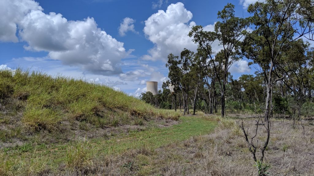
Contaminant Migration Power Plant, Queensland
Concerns about a possible transport mechanism of saline contaminants were detected in a freshwater stream north of a water storage dam on the power station site. GBG Group was contracted to undertake a multi-discipline geophysical investigation.
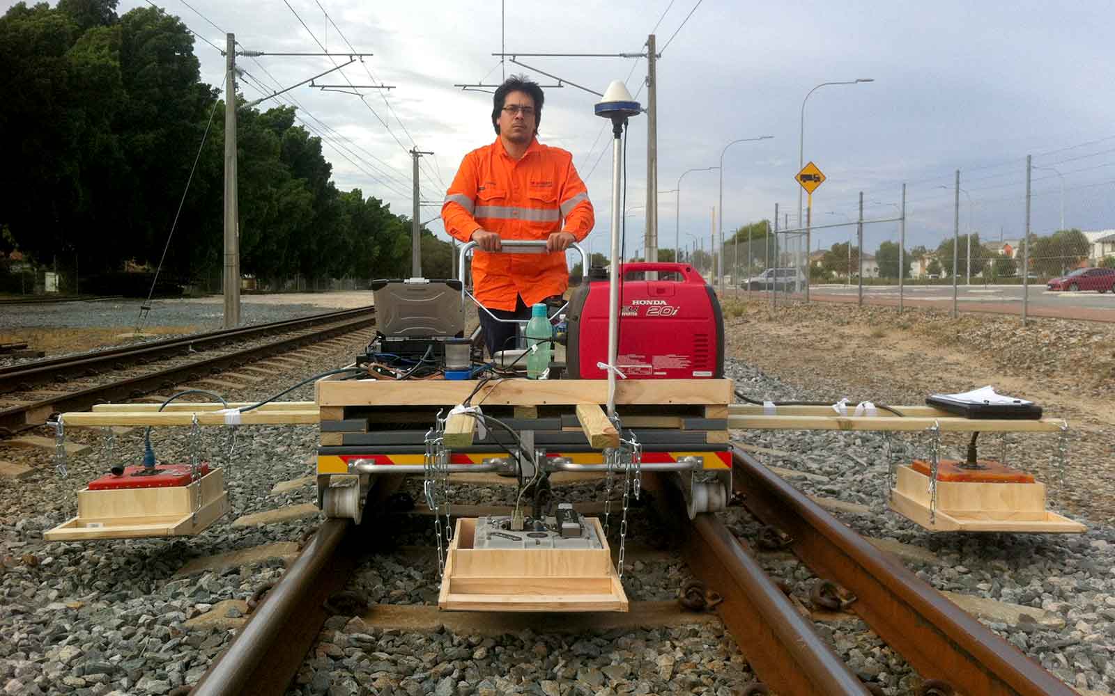
Localised boreholes provided limited information on the stratigraphy of the area. A broader understanding of the greater area was necessary to understand how fluid may potentially be transported toward the freshwater stream. To gain this broader understanding, two geophysical techniques were employed, Frequency-Domain Electromagnetics (FDEM) and Electrical Resistivity Tomography (ERT).
Before the geophysical investigation, these sand and gravel lenses were thought to have offered the permeability required for fluid transport and therefore were deemed to likely be the transport mechanism.
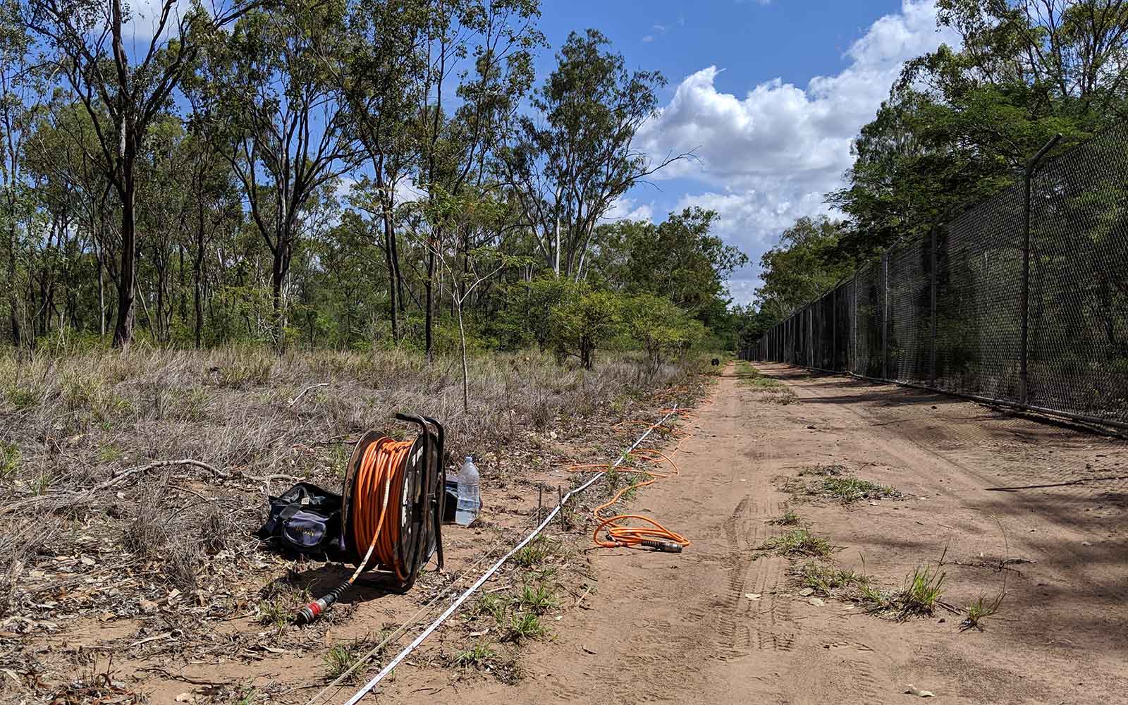
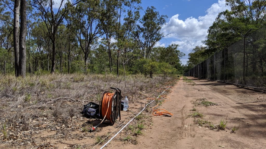
The geophysical investigation required was to identify the location and extent of sedimentary layers and to aid in the definition of more permeable layers. The data would then be used to generate a groundwater conceptual model. GBG carried out FDEM to cover the areas broadly between the water storage dam and a freshwater stream to the north. ERT was conducted concurrently. Three ERT profiles were positioned perpendicular to the expected direction of flow towards the freshwater stream, and at equal distances moving away from the power station's water storage dam. The rationale for these positions was to attempt to intersect any sediment lenses or migration paths, as well as to understand how they may change between the power station and the freshwater stream.
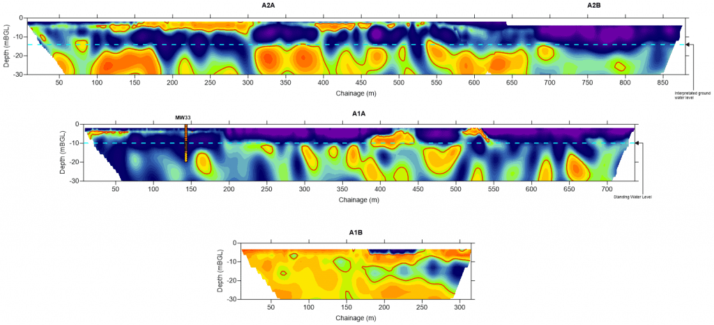
The FDEM results revealed a high conductivity response that appeared to be originating and migrating from the water storage dam in question. The results showed the response decreasing in intensity towards the freshwater stream. This was interpreted as either a deepening migration path to the north and being beyond the penetration of the instrument or some sort of barrier between the power station site and property to the north separated by an unsealed road.
The ERT results show small lenses of low resistivity, or conversely, higher conductivity, that deepen towards the freshwater stream. This corroborated the theory that a possible migration path is deepening towards the North.
Tailings Management: Get in touch
Consider a 'Tailings First' approach for your facility and avoid creating a potentially catastrophic risk for the environment.
GBG combines industry-proven geophysical methods, geotechnical physical characterisation, hydrogeological modeling and assessment, and airborne methods for point-based data capture in assessing your requirements. Talk to us today for more information regarding this essential service for your tailings facility.
Case Studies
GBG has completed over 1000 projects since its conception with multiple stakeholders and countless clients. GBG is proud to showcase some of these projects.
Enquire Now
We look forward to discussing your project with you, please complete the form below or contact one of our offices directly.
Please note: GBG Group is compliant with the General Data Protection Regulation (GDPR). To learn more about how we collect, keep, and process your private information in compliance with GDPR, please view our privacy policy. *

Contact Us - NSW


Contact Us - WA