
Infrastructure and Land Development
From gravesites to waste-handling facilities to prospective land developments, get the detailed subsurface information engineers and remediators need.
Subsurface Mapping
Detailed mapping of subsurface structure for construction, land development and risk assessment including:
- Geological mapping for the determination of overburden thickness and depth to bedrock - GPR, MASW and Seismic Refraction
- Identification of cap rock, clay layers or intermediate soft or hard layers - MASW and ERI
- Location of isolated features such as cavities and voiding, boulder floaters, dykes, sills, fracture zones, palaeochannels and karst formations - MASW, GPR and ERI
Geotechnical Parameters
Determination of geotechnical parameters to assist in the earthworks and construction design including:
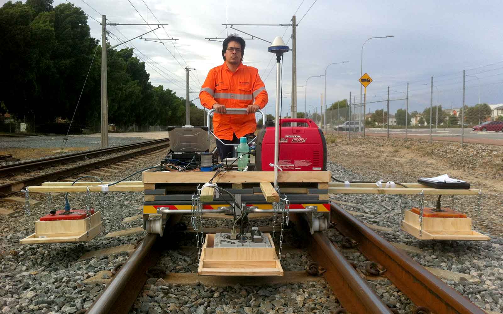
- Assessment of material strength including ground compaction and rock strength for determination of rippability and pile/footing design - MASW and seismic refraction
- Calculation of geotechnical parameters including shear modulus and Young’s modulus via measurement of P- and S-wave velocities using seismic methods - Seismic Refraction, MASW, VSP or borehole tomography
- Determination of in-situ electrical properties for earthing design - Electrical resistivity and thermal resistivity
- Determination of liquefaction potential within seismically active regions - MASW and ReMi
Water Infrastructure
Detailed mapping of subsurface structure for construction, land development and risk assessment including:
- Bathymetric depths for dam volume calculations and sediment characterisation - Sonar
- Marine seismic and thickness of sub-bottom sediment - Marine Seismic Reflection
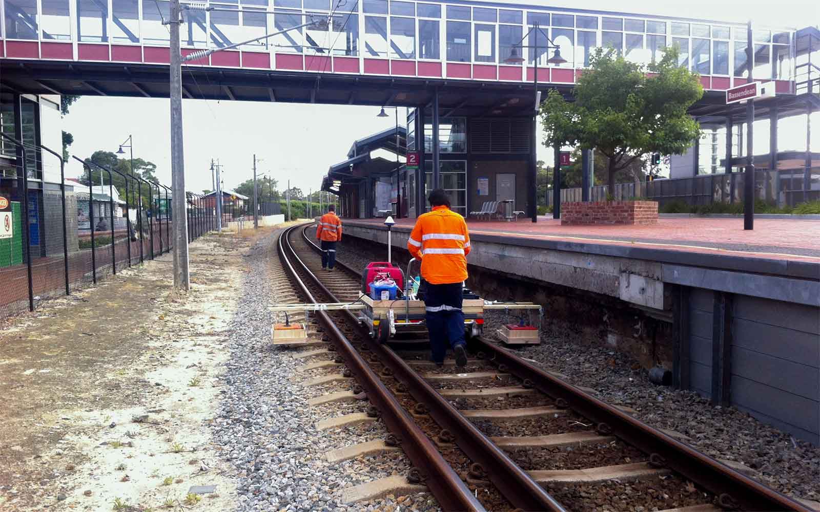
- Bedrock depth and condition for water retention basin design - MASW, GPR and ERI Seismic Refraction
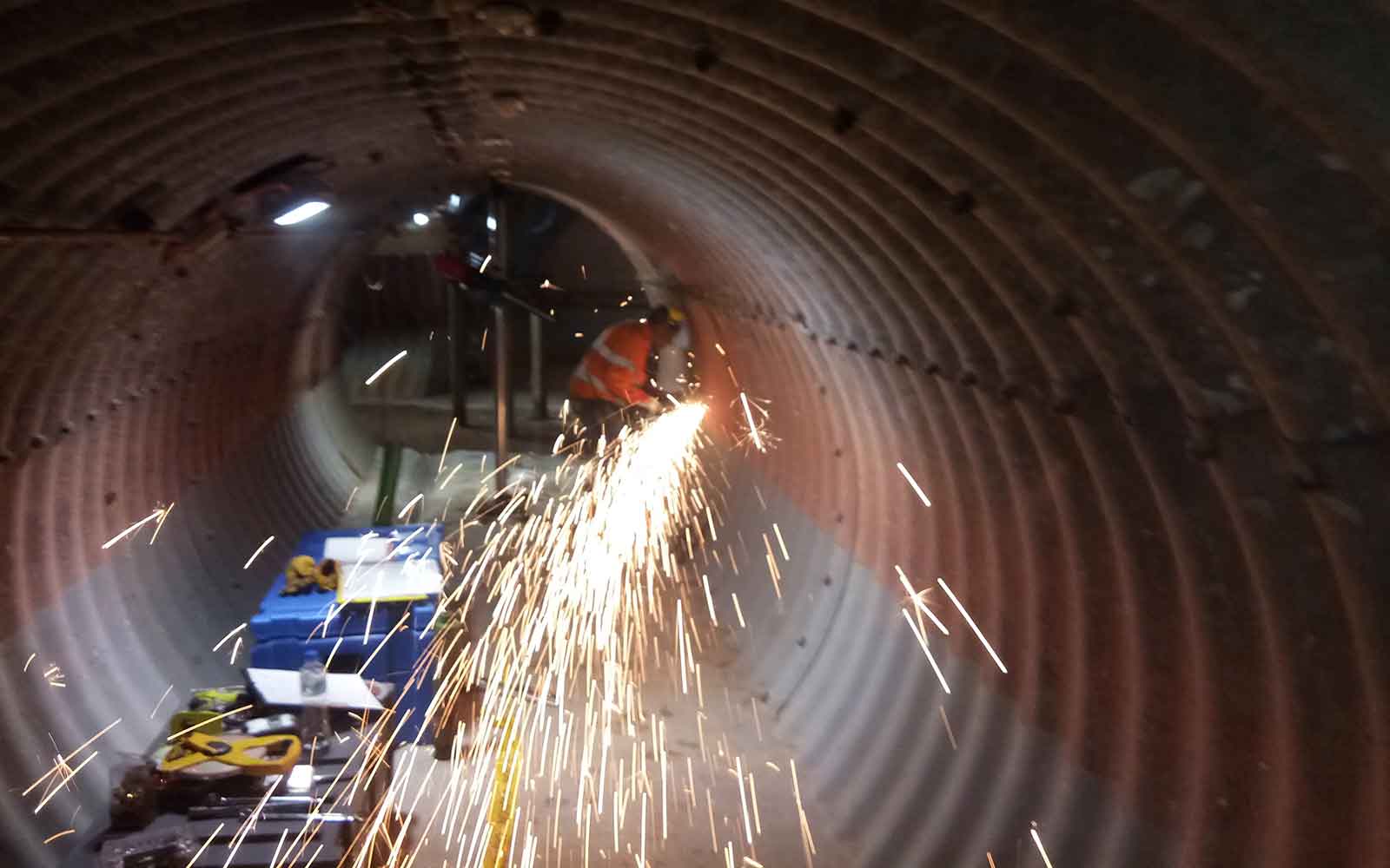
- Asbestos pipe condition inspections - GPR
- Underground service location - Utility Locating
- Pipeline route geotechnical information and overburden thickness and depth to bedrock - MASW, Seismic Refraction
Mining and Energy
Subsurface assessment specific to the mining, oil and gas, and renewable energy sectors including:
- Delineation of magnetic ore bodies - Magnetometer
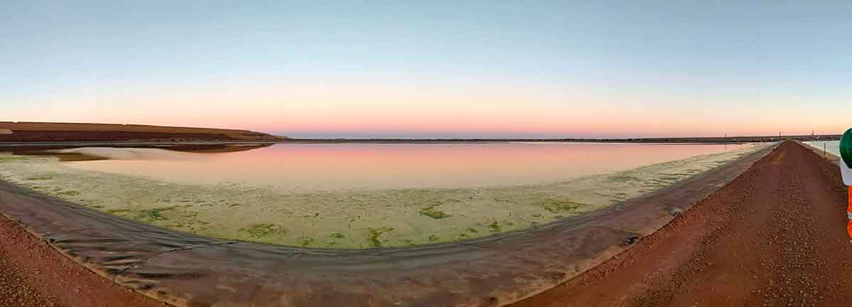
- Design, remediation and monitoring of Tailing storage Facilities - ERI, TDEM, FDEM and MASW
- Design of vibrating mine processing infrastructure - MASW
- Location of historic mine workings - GPR, ERI and FDEM.
- Site evaluation for wind and solar farm sites including investigations for wind turbine footing design - Seismic and electrical methods
Tailings Management: Get in touch
Consider a 'Tailings First' approach for your facility and avoid creating a potentially catastrophic risk for the environment.
GBG combines industry-proven geophysical methods, geotechnical physical characterisation, hydrogeological modeling and assessment, and airborne methods for point-based data capture in assessing your requirements. Talk to us today for more information regarding this essential service for your tailings facility.
Case Studies
GBG has completed over 1000 projects since its conception with multiple stakeholders and countless clients. GBG is proud to showcase some of these projects.
Enquire Now
We look forward to discussing your project with you, please complete the form below or contact one of our offices directly.
Please note: GBG Group is compliant with the General Data Protection Regulation (GDPR). To learn more about how we collect, keep, and process your private information in compliance with GDPR, please view our privacy policy. *

Contact Us - NSW


Contact Us - WA