
Time Domain Electromagnetics
Discover what TDEM can uncover from different subsurface interfaces to mineral exploration to the contribution of design and feasibility of fluid infrastructures.
Applications
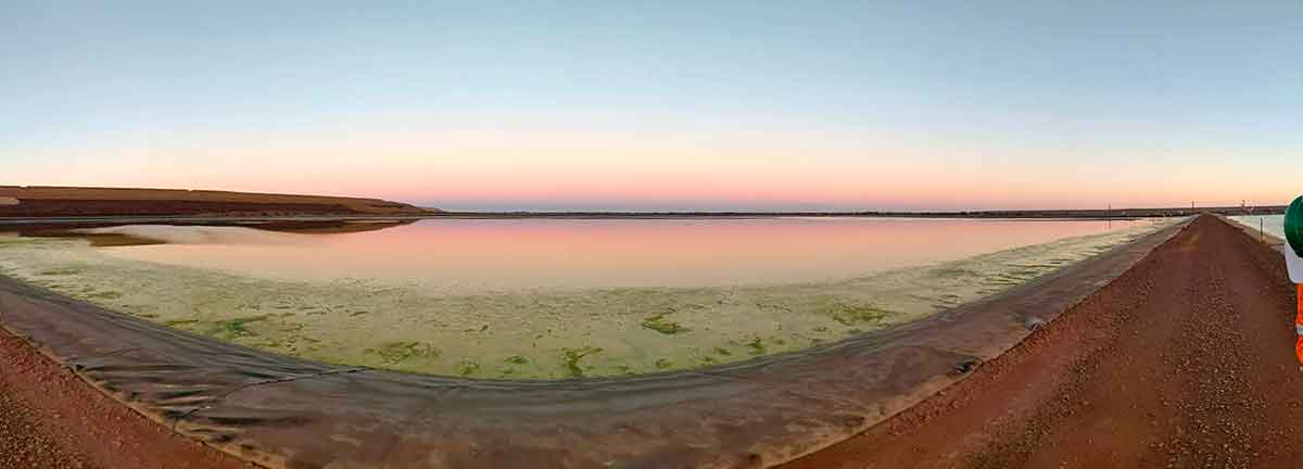
- Mapping and monitoring of saltwater / freshwater interface
- Groundwater investigations including aquifers
- Mineral-rich deposit exploration
- Deep geological mapping
- Design and feasibility of fluid infrastructure including levees and tailing storage facilities
Method
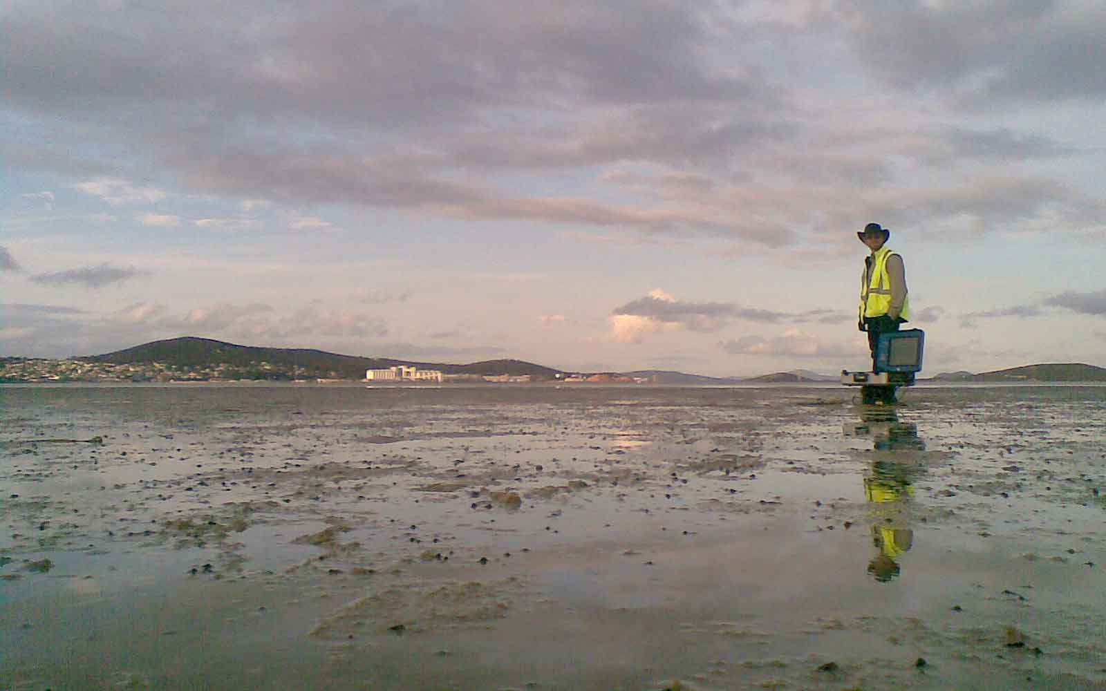
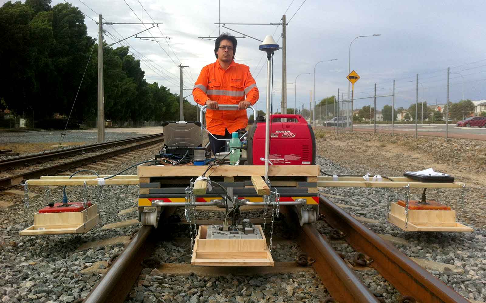
Time-Domain (or Transient) Electromagnetic (TDEM) surveying uses the principle of electromagnetic induction to measure changes in the electrical conductivity of the subsurface. An electric current of known frequency and magnitude is transmitted through a large coil which induces a magnetic field in the space surrounding the coil including the subsurface which in turn induces electrical currents (eddy currents) in the ground material. The transmitting current is then stopped and the rate of decay of the eddy currents is measured. The rate of decay is plotted as a curve and then inverted and analysed to determine the subsurface material conductivity with depth.
Electrical current is transmitted and recorded using coincident square loops. Loop size dictates vertical resolution and a maximum depth of investigation with a larger loop providing deeper imaging with a lower vertical resolution. At each sounding location, multiple readings are taken and stacked.
Data Analysis & Presentation
The acquired TDEM data is displayed as a decay curve plotting the received voltage against time. The decay curves are inverted and constrained to obtain TDEM soundings plotting conductivity with depth. Inversion of the TDEM data can be constrained using the Resistivity data where both have been collected. Other sources for constraining the inversion may include downhole conductivity logs and groundwater monitoring wells which can be used if available.
Where multiple adjacent TDEM sounds have been made, continuous profiles can be generated showing the variation with conductivity with depth and laterally along with the profile.
Tailings Management: Get in touch
Consider a 'Tailings First' approach for your facility and avoid creating a potentially catastrophic risk for the environment.
GBG combines industry-proven geophysical methods, geotechnical physical characterisation, hydrogeological modeling and assessment, and airborne methods for point-based data capture in assessing your requirements. Talk to us today for more information regarding this essential service for your tailings facility.
Case Studies
GBG has completed over 1000 projects since its conception with multiple stakeholders and countless clients. GBG is proud to showcase some of these projects.
Enquire Now
We look forward to discussing your project with you, please complete the form below or contact one of our offices directly.
Please note: GBG Group is compliant with the General Data Protection Regulation (GDPR). To learn more about how we collect, keep, and process your private information in compliance with GDPR, please view our privacy policy. *

Contact Us - NSW


Contact Us - WA