
Marine, River and Transition Zone
From geohazard mapping to erosion studies to seafloor imaging, find out what’s beneath any body of water.

Sub-Bottom Profiling
Detailed mapping of subsurface structure for dredging and wharf infrastructure including pile design:
- Depth to bedrock - Marine Seismic Reflection and Marine Seismic Refraction
- Determination of geotechnical parameters eg. indicative strength/ rippability, elastic moduli - Marine Seismic Refraction and Marine MASW
- Sediment thickness and mapping for dredgeability - Marine Seismic Reflection and Marine Seismic Refraction
- Calculation of dredging volumes - Marine Seismic Reflection
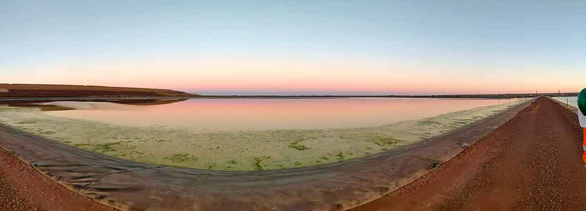
Seafloor Survey
Determination of seafloor conditions for risk mitigation, sedimentation and environmental feature mapping using Side Scan Sonar:
- Mapping for shipping hazards ie. reefs and bomboras
- Location of archaeological significant features (shipwrecks)
- Location of dumped rubbish i.e. car bodies, tyres
- Seafloor monitoring of sediment build up
- Environmental studies for habitat mapping
Magnetic Survey
Magnetometer and gradiometer surveys for UXO clearance, geological mapping and archaeological or environmental mapping:
- Locating buried debris e.g. anchors and unexploded ordnance
- Marine archaeological survey eg. shipwrecks
- Delineation of ore bodies or other magnetically susceptible geological units
Tailings Management: Get in touch
Consider a 'Tailings First' approach for your facility and avoid creating a potentially catastrophic risk for the environment.
GBG combines industry-proven geophysical methods, geotechnical physical characterisation, hydrogeological modeling and assessment, and airborne methods for point-based data capture in assessing your requirements. Talk to us today for more information regarding this essential service for your tailings facility.
Case Studies
GBG has completed over 1000 projects since its conception with multiple stakeholders and countless clients. GBG is proud to showcase some of these projects.


Enquire Now
We look forward to discussing your project with you, please complete the form below or contact one of our offices directly.
Please note: GBG Group is compliant with the General Data Protection Regulation (GDPR). To learn more about how we collect, keep, and process your private information in compliance with GDPR, please view our privacy policy. *

Contact Us - NSW


Contact Us - WA